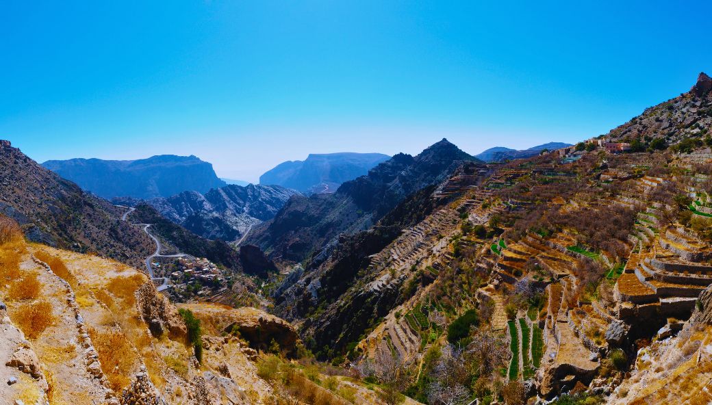
Jabal Akthar High-Precision 3D Terrain Digitization
3D LiDAR Scanning
Client
ROYAL COURT AFFAIRS (RCA)
Status
Completed
OVERVIEW
Executed 3D laser scanning survey of 1.9 hectares at Jabal Akthar. The scope included high-precision point cloud data collection, detailed surface modeling, and comprehensive digital documentation of the terrain and structures. Essential for accurate site documentation and development planning.
 Back
Back