UAE-Oman Rail Corridor Aerial Mapping and Station Site Assessment
Drone Survey
Client
EGIS EMIRATES PROJECT MANAGEMENT & ENGINEERING CONSULTANCY LLC
Status
Completed
OVERVIEW
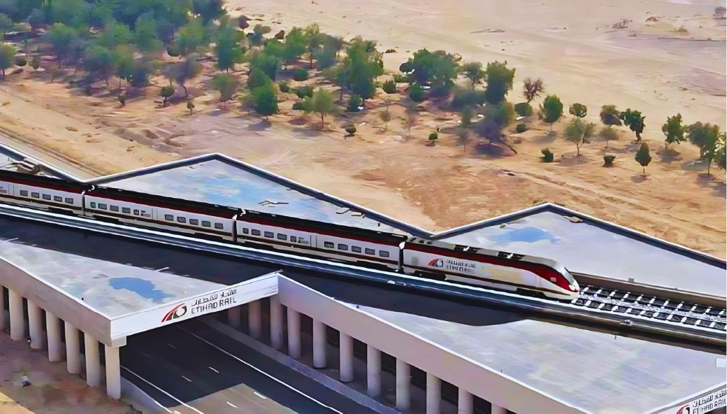
Conducted topographic drone survey for the UAE-Oman Rail alignment options and additional 11 HA area at rail station location. The scope included comprehensive aerial mapping, elevation analysis, and detailed terrain documentation to support international rail infrastructure planning.
 Back
Back