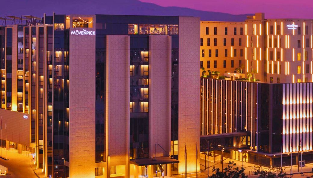
Ghala Heights Aerial Visualization and Development Documentation
Drone Survey
Client
MINISTRY OF HOUSING AND URBAN PLANNING
Status
OVERVIEW
Delivered video presentation for Ghala Heights Project including drone videography and orthophoto detailing. The scope encompassed aerial photography, video production, and detailed orthomosaic mapping to support urban development visualization.
 Back
Back