Sohar Mawarith Tailing Large-Scale Aerial Terrain Assessment
Drone Survey
Client
GREEN TECH MINING & SERVICES LLC
Status
Completed
OVERVIEW
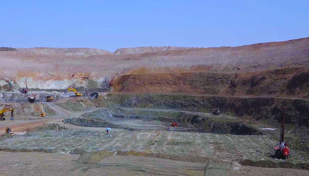
Executed topographic survey for Mawarith Tailing in Sohar & Sohar Cluster using drone technology, covering 3930 HA. The scope included extensive aerial mapping, terrain analysis, and comprehensive site documentation for mining operations.
 Back
Back