Oman Fishery Harbor Bathymetric Survey and Coastal Dynamics Assessment
Offshore survey
Client
Ministry of Agriculture, Fisheries Wealth and Water Resources
Status
Completed
OVERVIEW
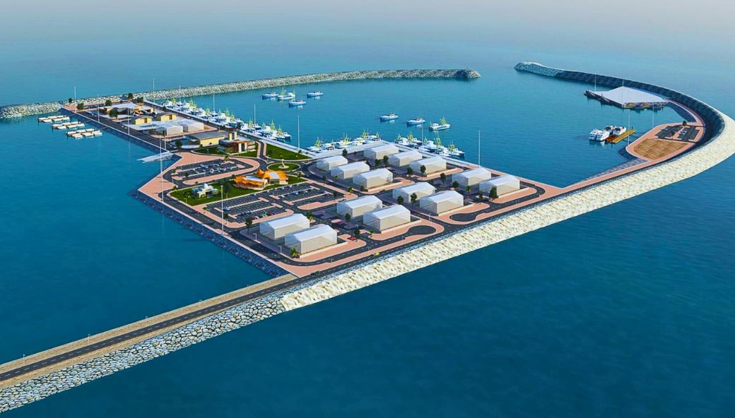
Conducted bathymetric surveys and sand movement studies across 19 fishing harbors and landing facilities throughout Oman. The three-year monitoring project included comprehensive bathymetric surveys, shoreline topographic mapping, beach profiling, and quantity calculations for erosion and accretion assessment. The scope specifically covered detailed surveys of Liwa Fishery Harbour, combining shoreline topography and multibeam bathymetric surveys to support harbor maintenance and development planning.
 Back
Back